URBAN GREEN ITINERARY
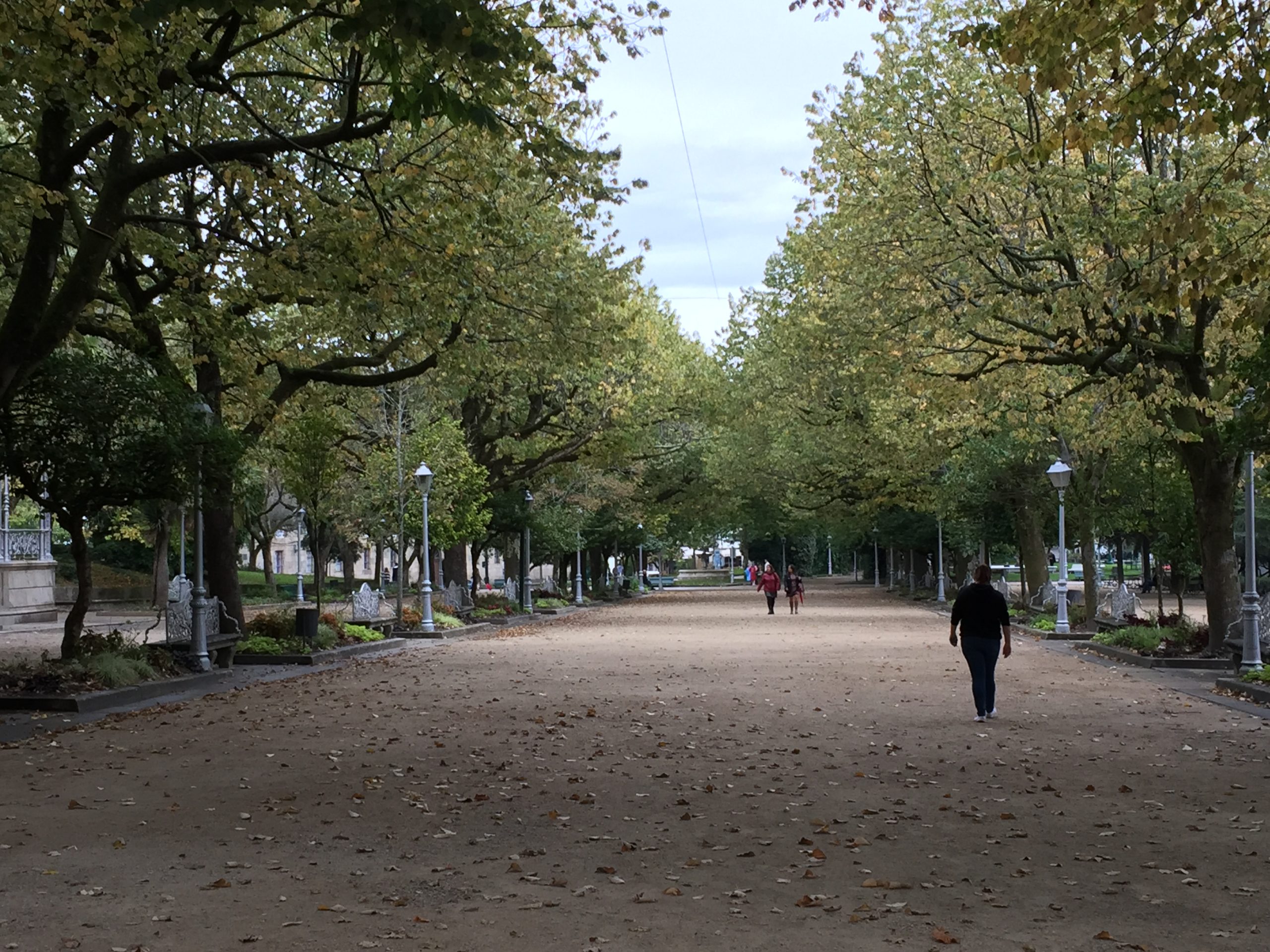
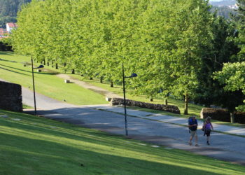
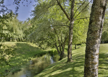
La Alameda is the starting and returning point of the three circular lines that join the large green spaces of the city through a network of natural pavement paths. All of them travel a common section, although the violet line (16.5 km and 4h43m) takes the variant that crosses the Park of Bonaval; the blue line (18.4 km and 5h15m) does so by cancels; and the orange line (21.7km and 6h13m) reaches O Pozo da Neve. They are joined by four one-way bypasses that go to Granxa do Xesto (1.7km and 29m), Monte de Deus (1km and 17m), Volta do Castro (0.7km and 12m) and Brandía (1.5km and 26m). The routes are self-guided, can be traveled on foot or by bike and are marked with information panels, tiles embedded in the ground that indicate the direction to follow and beacons that mark kilometer points and slopes.
Three circular lines link the city’s large green spaces through a network of natural pavement paths
Some of the points on the urban green itinerary, as well as the most relevant parks in Compostela, are part of a program of free guided tours of the Santiago City Council.
Download the itinerary on the DUS website – Concello de Santiago